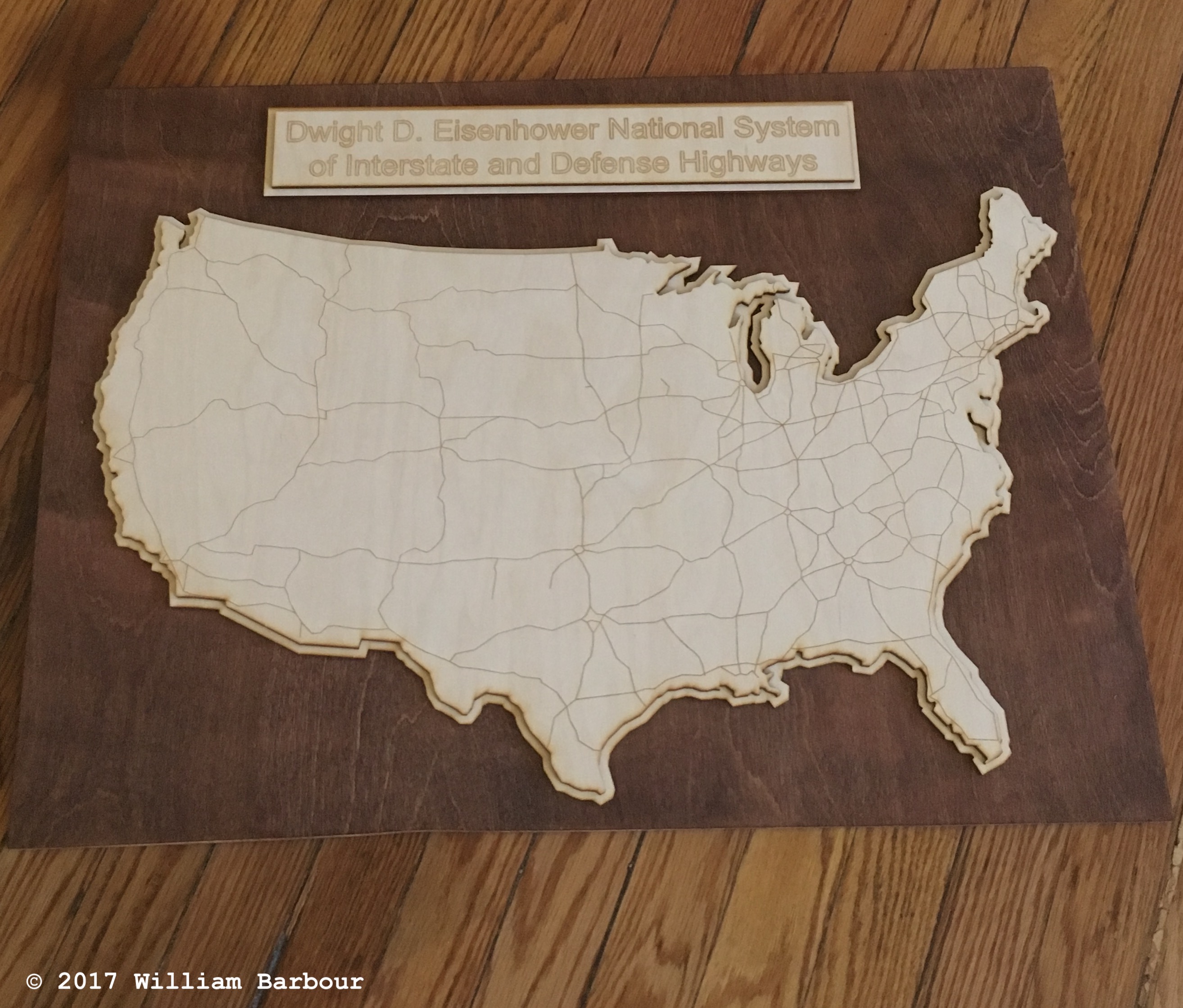
This project was completed by Raphael Stern and myself. We set out to design and build a laser cut relief map of the Dwight D. Eisenhower National System of Interstate and Defense Highways. This resulted in a number of incarnations, one of which was mounted on stained oak plywood, below. The map and name plate are cut from 1/8-inch birch plywood using a 75-watt laser cutter using an AutoCAD DWG file. The file combined both raster engraving for the highways and vector through-cuts for the outline of the contiguous United States. The vector cut was simply sized up with AutoCAD to form the lower relief map. A later version of this project also added state outlines with lower raster width and turned out very well.